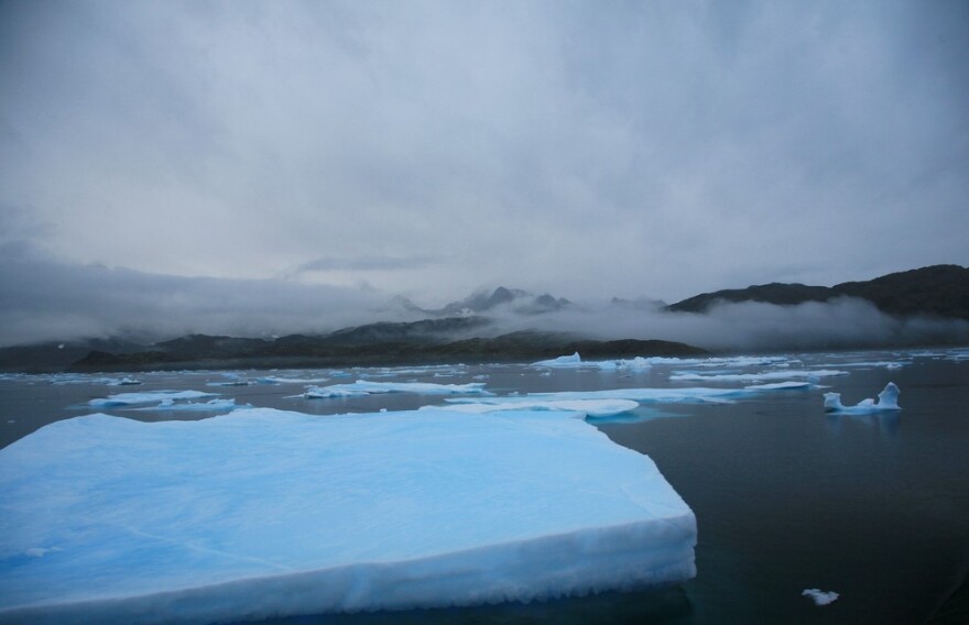
Record lows in Kansas City this past weekend were Greenland's fault, according to one University of Kansas professor. Greenland, as in the massive, ice-covered island in the North Atlantic Ocean.
"Spring is always pretty variable, and there can be this whiplash of cold and warm and cold again. That's, in some sense, just life on the Plains," says David Mechem, professor of geography and atmospheric science at KU.
But the cold has stayed around longer than usual in part because of something called the "Greenland Block." It's an atmospheric zone of persistent high pressure hanging above Greenland that steers cold air southwest across North America.
The block was present through much of February and March, but Mechem says it's been breaking down over the past few weeks, which partially explains the Jekyll and Hyde fluctuations we've experienced in and around the metro (that characterization is KCUR's, not the scientist's).
Other factors, however, involve another part of the world: Heavy rainfall in the western Pacific Ocean.
"Turns out what happens in the tropics can have pretty pronounced effects on our weather patterns here in Kansas and elsewhere in the mid-latitudes," Mechem says.
Scientists in Mechem's field are researching the impact of climate change on weather patterns such as these, so he can't say definitively whether climate change plays a role. But, he says, warmer weather does impact the wave patterns of air currents, which in turn makes it easier for phenomenons such as the Greenland Block to force cold air southward where it might not otherwise be.
As for whether Spring is around the corner, Mechem says he hopes so. He's been monitoring weather models that project upcoming weather a few weeks out.
"They keep promising," he says with a laugh. "But now that this blocking pattern is broken down, I think things are looking up."
Andrea Tudhope is a reporter for KCUR 89.3. Follow her on Twitter @_tudhope.


